CABBIE'S MATE
CABBIE'S MATE
Developed for London taxi drivers
45,000 plus points of interest
Points asked by the examiners at TFL
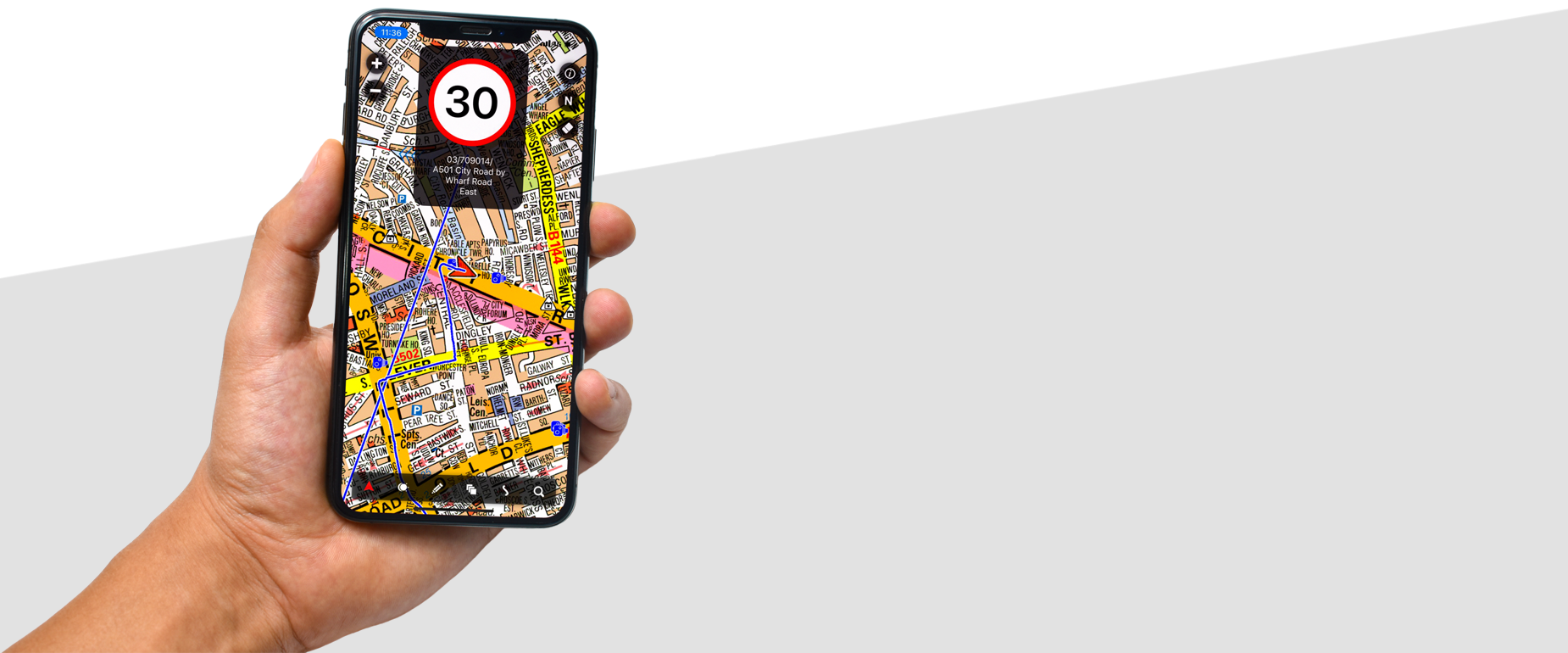
Easy to use; cotton line, route plot
April 2024 A-Z MAP, POI and Speed cam update for ALL Cabbie's Mate subscription apps is now RELEASED. Point check: Mandarin Oriental, Mayfair - 22 Hanover Square (Entrance in Brook Street), W1S 1JP
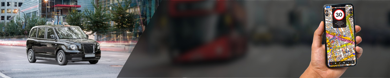
Cabbie's Mate A-Z App for iOS and Android
Specifically developed for London Taxi Drivers, knowledge boys and girls


A 30 day free trial period with the premium option
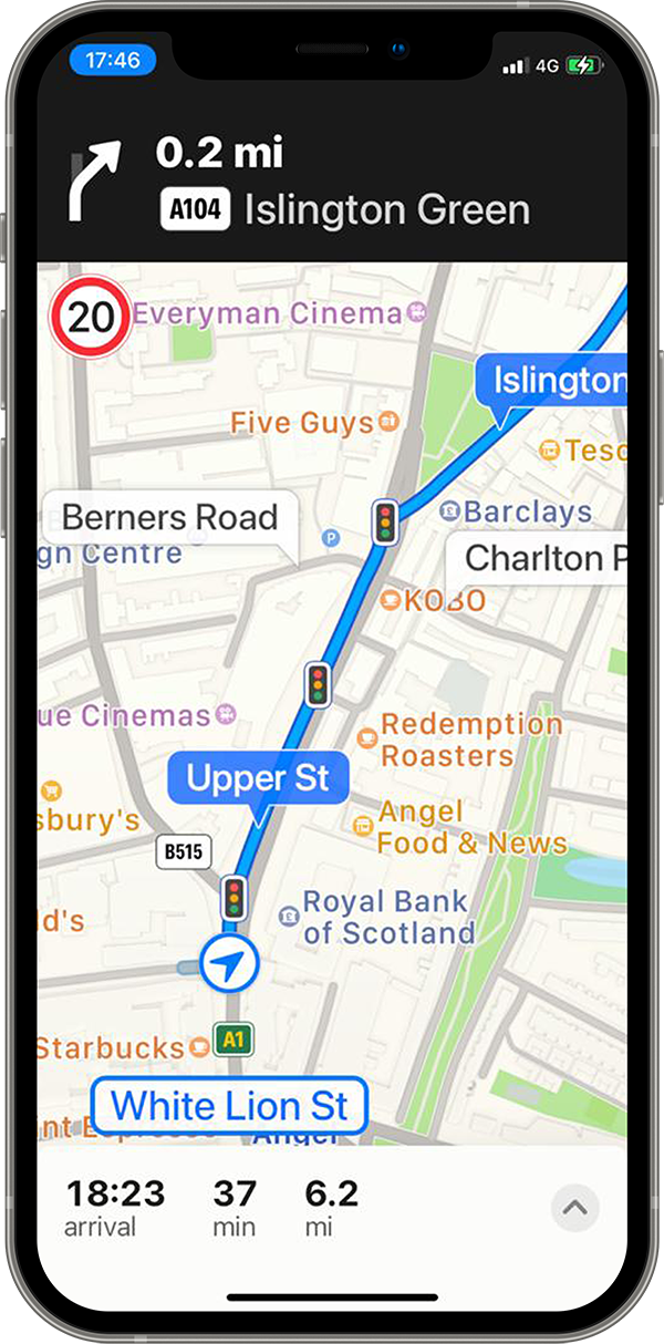
Switch Between A-Z and Navigation
Voice commands with street names and visual instructions can be seen and heard in both navigation and A-Z maps.
5 A-Z Maps
Updated twice a year in spring and autumn.
Comprehensive POI
Updated 4 times a year, in January, April, July and October.
Subscription Options
Premium and Standard
Useful unique functions
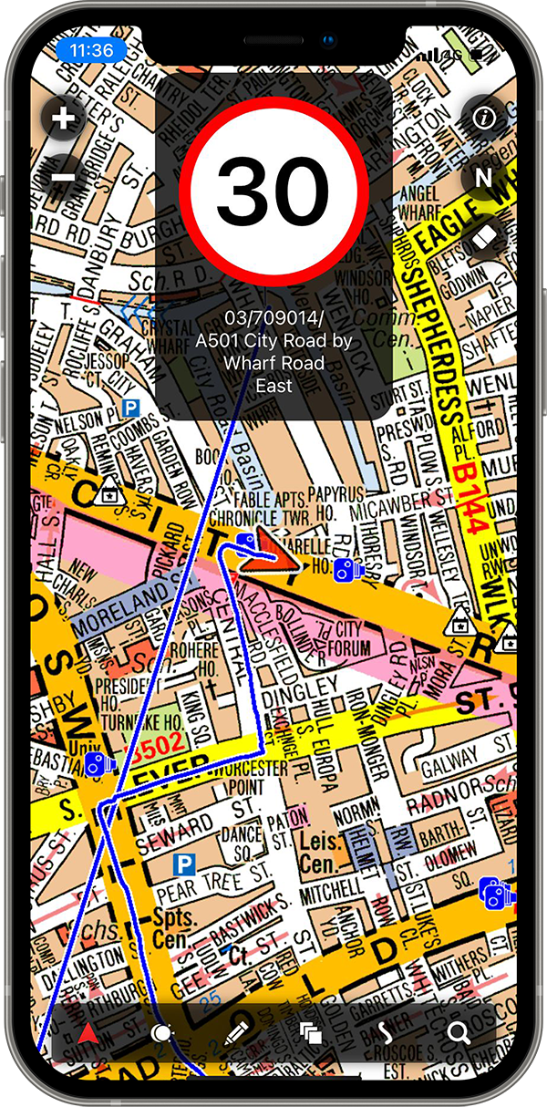
Cotton line, route plotting, A to B functions, switching A-Z maps to the navigation function, speed camera warnings, TFL live traffic/roadworks disruption, knowledge functions (in premium option)
Development and support
We are constantly considering ways to develop more useful functions and improve our Cabbie's Mate apps.
The Cabbie’s Mate A-Z app is the best map app for taxi drivers, knowledge boys and girls or people who enjoy using the A-Z maps. There is no other map app which provides the comprehensive information and has such ease of use as ours. Searching and pin pointing a street, postcode or a POI destination on A-Z map takes under 10 seconds.
You can find more detailed information on top toolbar tabs under iOS and Android Apps.
You can find more detailed information on top toolbar tabs under iOS and Android Apps.